City Line Map
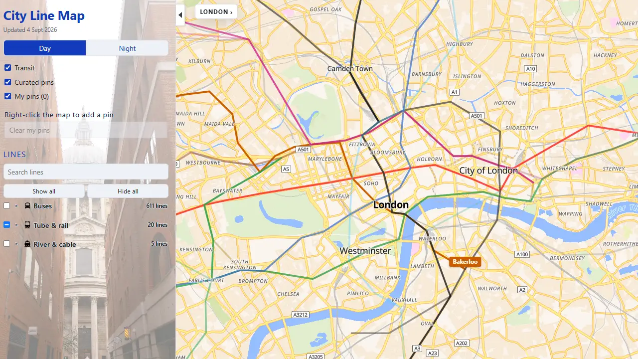
LiveCity Line Map is a free geographic map of London public transport on the real street network, not a schematic tube diagram. Underground, buses and river services sit on the city so routes can be compared where they actually run. Independent of TfL.
- Geographic map on real streets, not a schematic tube diagram
- Underground, buses and river services on one map
- Free public website with no account
Next.jsMapLibreTfL Open Data
Independent of Transport for London. Not an official TfL map. Always check TfL before you travel.
Case study →