
Case study
City Line Map
Live public website. Free, no account, not a store listing.
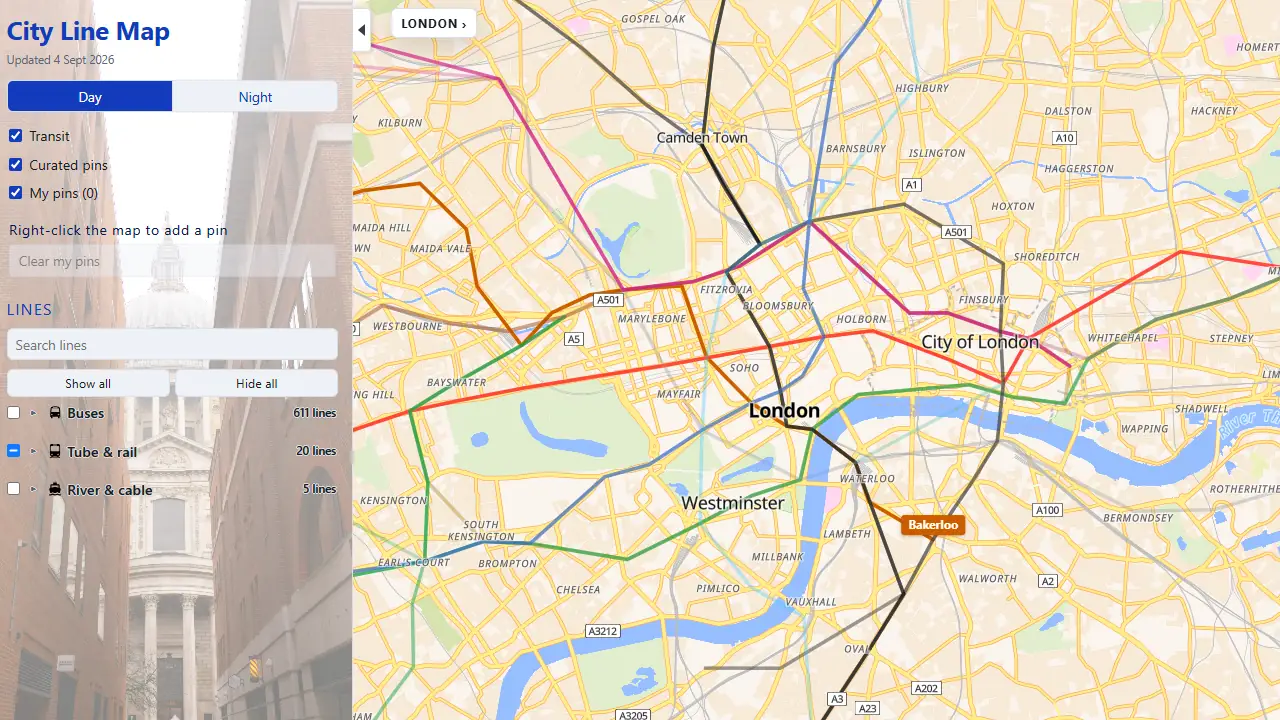
A live public map of London's Underground, buses and river services on real streets. Built by MgonnacrushT Limited. Not an official Transport for London map.
Problem
Schematic tube maps show how lines connect. They do not show where those routes sit on the street, or how buses and river services meet a neighbourhood, hotel, or landmark.
Solution
City Line Map puts London's Underground, bus network, and river services on one geographic map. It is for people who want to see where routes actually run, rather than only ask for a single itinerary.
Result
- Status
- Live website
- Coverage
- London
- Access
- Free, no account
- Independence
- Independent of TfL
The work is a shipped public product: open transport data, an interactive map, and a static website that opens in a browser.
Independent of Transport for London. Not an official TfL map. Always check TfL before you travel.
Services · Portfolio · Get in touch · City Line Map Privacy · City Line Map Terms
For project enquiries, email [email protected].